TrailMark Archive Edition

Missouri | Mississippi River

Gateway Arch

Jefferson National Expansion Memorial in 1935. Gateway Arch National Park on February 22, 2018.

Archive No. TM-JEFF-038

National Park since 2018

Collection St. Louis riverfront

Park Overview

A memorial in 1935, a national park on February 22, 2018

Gateway Arch National Park was Jefferson National Expansion Memorial from 1935 until Congress redesignated it on February 22, 2018.

The basic-information page says it has been a Park Service unit since 1935, when Executive Order 7253 designated 40 city blocks. The history page says 90.96 acres. The nature page and the brochure say 91. No statistics page chooses. The shared figure is about 91 acres. The brochure calls the Arch the tallest human-built monument in the United States: 630 feet tall and 630 feet across at the base.

The purpose page says the 2018 change did not alter operations, boundaries, or the mission. Eero Saarinen's design was chosen from 172 proposals. Construction began February 12, 1963, and ended October 28, 1965. The Arch opened to the public on June 9, 1967.

Emotional Thesis

The arch is a curve over a city that cleared forty blocks to hold it.

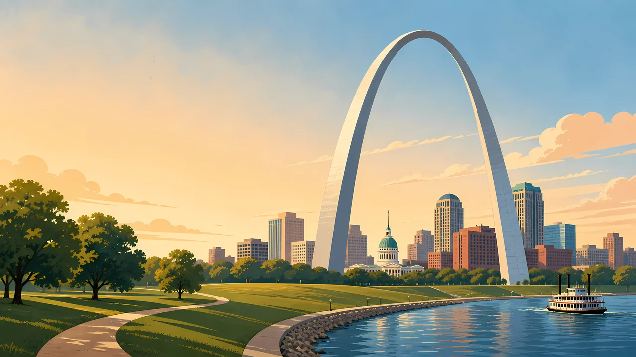
The header puts the steel catenary against downtown, with the river and a steamboat in front. The brochure says 40 blocks of old buildings were leveled. A French fur post had stood here in 1764. The memorial was meant to mark St. Louis in westward expansion, including the Louisiana Purchase.

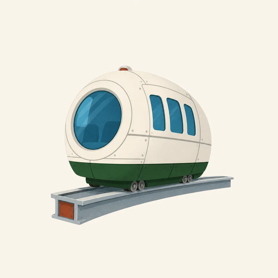
The extra drawing is a tram car. The history page says fees are charged to ride the tram to the top. The price is a current NPS matter. The foundations go down 60 feet, and the brochure says the Arch is designed to sway up to 18 inches.

Landscape Highlights

Steel, lawn, courthouse, and the Mississippi

01

The arch

Six hundred thirty feet in both directions. In ideal conditions the brochure says you can see 30 miles from the top. The curve in the painting is the whole design: Saarinen and landscape architect Dan Kiley wanted the ground to echo the steel, not compete with it.

02

The Old Courthouse

Construction began in 1839. The first two Dred Scott trials were held here in 1847 and 1850. The history page says the building reopened after renovations on May 3, 2025. It sits two blocks west of the Arch and was already a century old when the steel went up.

03

The levee

A grand staircase leads from the St. Louis levee to the base. The river in the header is the working edge the memorial was built to face. The steamboat is the painting's memory of the port, not a schedule.

Hidden Discoveries

A competition, a tram, and a name that changed without moving the boundary

01

172 proposals

The brochure says Saarinen's design won a national competition. The history page dates that competition to 1947–48. The purpose page dates groundbreaking to June 1959 and completion to October 1965. The brochure's construction window, February 12, 1963 to October 28, 1965, is the build itself. Both pairs of dates are on NPS pages.

02

The tram

A brochure itemizes construction at about 13 million dollars, including about 2 million for the tram. The history page says the project cost less than 15 million. Both support less than 15 million dollars, which is the figure used here. The little car in the drawing is that ride. Tickets are not a fact this essay freezes.

03

February 22, 2018

Public Law 115-128 redesignated the memorial. The FAQ says the bill was signed in February 2018. The purpose page says operations, boundaries, and mission stayed. The name changed. The steel did not.

Wildlife

This chapter is a monument, not a refuge census

The pages opened for this park are about the Arch, the courthouse, the riverfront, and the memorial's purpose. They do not supply a wildlife count, so this essay does not invent one.

A small white and green tram car on a curved track, the extra drawing for the park.
Arch tram

01

The grounds are a designed landscape: ponds, trees, and walks that repeat the Arch's curve. That is the FAQ's description of the National Historic Landmark, designated in 1987 for 62 acres of the memorial.

02

Birds use the river. Naming a species here would be a guess.

03

The tram car is the extra illustration because the distinctive animal of this park is a machine.

Geology

Sixty feet of foundation in a river city

The history page says the foundations are sunk 60 feet and the Arch is built for earthquakes and high winds. The brochure allows up to 18 inches of sway.

01

The Mississippi is the geologic fact visitors actually see. The levee and the staircase are how the park meets it.

02

No bedrock name is added. The engineering numbers above are the ones on the pages.

03

About 91 acres is a small park. The curve has to do the work of a mountain.

A city park with a security line

Any month

The Arch is not a seasonal mountain. Wind and the sway number matter more than foliage. High-wind days are an NPS operations question.

The view

Thirty miles is the brochure's ideal, not a promise. Haze on the river is ordinary.

The tram

Ride tickets, hours, and whether the top is open change. The basic-information page says arrive early enough to clear security before your tram time.

The courthouse

The May 3, 2025 reopening is a date on the history page. Confirm hours before you treat that sentence as this week's door.

Photography

Get the whole catenary, feet and crown

A crop of the top third could be any curve. The 630-foot span is the fact.

01

Base and crown

Include grass or the river so the height has a scale. The header does both.

02

The courthouse dome

It is part of the park, two blocks west, and part of the Dred Scott history. It belongs in a wider frame.

03

Security

The checkpoint is real. Plan the picture before you are in the line.

Field Notes

Field Notes

They cleared forty blocks so a single curve could mean the opening of the West. The river was already here.

TrailMark Field Notes

Gateway Arch National Park badge

Badge Story

A catenary over a levee, not a mountain outline

The mark is the Arch and the Mississippi. A wilderness badge would deny the city.

Steel curve, lawn, river.

The tram car can be the small object. It is the way up.

Do not add a fake bison. The story here is the memorial and the courthouse.

Archive No.038

LocationSt. Louis

ReleaseArch Mark

Stewardship / Safety

A security checkpoint and a structure that is allowed to move

The basic-information page says every visitor passes a security checkpoint and that weapons, including pepper spray, are not allowed. Fees for the tram are charged. Entrance to the museums is described as free on that page. Confirm both before you go.

  1. 01

    Arrive ahead of a tram reservation. The line is part of the visit.

  2. 02

    The 18-inch sway is design, not damage. Still follow any wind closure.

  3. 03

    The Old Courthouse is a legal history site, including the Dred Scott trials. It is not a backdrop you rearrange.

  4. 04

    The riverfront edge is a working levee. Stay on the walks.

Current conditions, fees, and alerts are on the National Park Service site.

Continue the Archive

Cuyahoga Valley is the other city-edge park in this batch.

One is a river valley kept open between Cleveland and Akron. This one is a curve of steel on the Mississippi. Hot Springs is not published here yet.