TrailMark Archive Edition

South Carolina | Congaree River

Congaree

A swamp monument in 1976. Redesignated a national park in 2003. The day is left to the foundation document.

Archive No. TM-CONG-032

National Park since 2003

Collection Congaree floodplain

Park Overview

A monument in 1976. A national park in 2003.

Congaree Swamp National Monument was established in 1976 and redesignated a national park in 2003, now covering over 26,000 acres.

That history page calls it the nation's largest remaining tract of southern old-growth bottomland forest, in the Midlands of South Carolina. The management page says Congress authorized the park in 1976 to preserve the largest intact tract of that forest in the Southeast, and points to the foundation document for the establishment story. This essay uses the years on the history page and does not add the day from a PDF.

The nature page says the landscape is defined by flood and fire: bottomland hardwoods, including champion trees, and an upland pine forest on the northern bluffs. The FAQ says the average canopy is over 100 feet and that the tallest tree, a national champion loblolly pine, was last measured at 170 feet, with a circumference over 15 feet.

Emotional Thesis

The boardwalk is a path through a forest that almost became lumber twice.

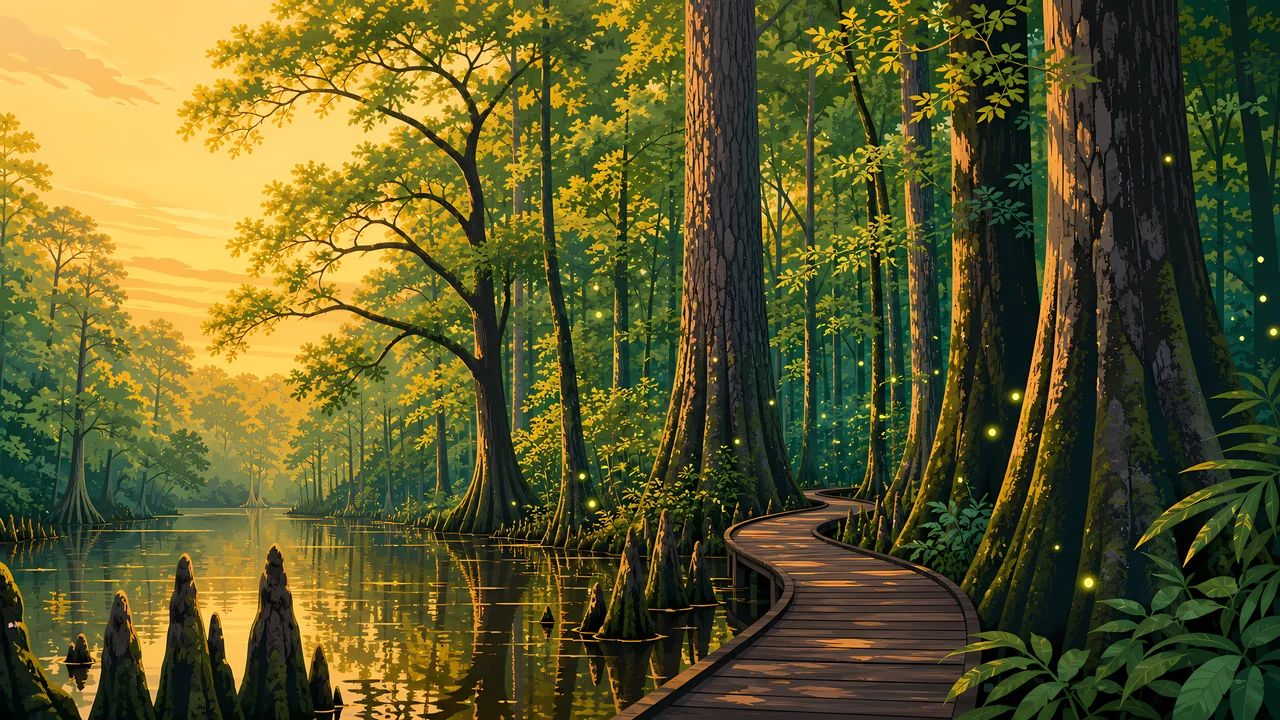
The header is cypress, a still channel, and a curving boardwalk. The FAQ recommends that 2.6-mile boardwalk when you have an hour or two. It is the public way through a place Francis Beidler logged and later owners nearly logged again.

Harry Hampton wrote columns to save it. In the 1970s, Congaree Action Now finished the argument as a monument. The national park name came in 2003. The trees are older than either date.

Landscape Highlights

Floodplain, bluff, and a walk of 2.6 miles

01

Bottomland

Floods from the Congaree and Wateree drop nutrient-rich soil. The nature page lists forested wetlands, oxbow lakes, sloughs, and slow creeks, with bald cypress and tupelo, and, on slightly higher ground, old-growth oaks and loblolly pines.

02

The upland pines

The northern bluffs are an upland pine forest, now mostly loblolly, with remnants of longleaf. Those trees need fire. The page names sweetgum, turkey oak, shrubs, and vines as the competitors fire clears.

03

The boardwalk

The FAQ's short visit is the 2.6-mile Boardwalk Trail, with a self-guided brochure at the Harry Hampton Visitor Center. Bikes are not allowed on hiking trails. They are allowed only on the paved entrance road.

Hidden Discoveries

Congaree people, maroons, and a logger who stopped

01

The name

The park and the river are named for the Congaree people. The history page says a significant number are thought to have died in the 17th and 18th centuries from warfare and disease, and that remaining Congaree were absorbed into neighboring tribes. That page puts people here at least 10,000 years. The history index says over 13,000. The shared figure is more than 10,000 years.

02

A refuge

The floodplain page describes maroons: enslaved people who lived in this wilderness, sometimes for years, rather than accept slavery. It also records de Soto in April 1541 and John Lawson in 1701 at the confluence of the Wateree and Congaree.

03

Beidler and Hampton

Francis Beidler bought 15,000 acres and logged old-growth cypress for almost 20 years. Operations ceased by 1917. Harry Hampton, a newspaper editor who hunted here, argued in print that the tract was the last of its size. Action Now and a willing sale produced the 1976 monument.

Wildlife

A woodpecker, a snake, and a squirrel that need the fire

The nature page says the open pine savannahs support the red-cockaded woodpecker, the indigo snake, and the southern fox squirrel, all threatened or endangered because that habitat has been lost.

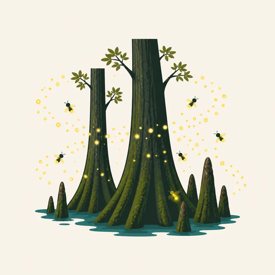
Bald cypress trunks and knees in shallow water, with fireflies, the extra drawing for the park.
Cypress and fireflies

01

The extra drawing shows cypress knees and fireflies in a flooded wood. The nature page names bald cypress. It does not inventory the insects in the drawing, so the caption does not name a species count.

02

Across the Southeast, the nature page says old-growth bottomland once covered about 30 million acres and longleaf savannahs about 90 million. Logging, farms, and towns left remnants. Congaree is one of them.

03

Hogs brought by the Spanish are still here, the history page says. They are part of the ecological story, not a hunting tip.

Geology

The shaping force is the flood, then the slight rise

Small changes in elevation inside the floodplain make different forests. The nature page says that directly.

01

Cypress and tupelo take the wet ground. Oaks and loblolly take the inches that stay drier. The boardwalk is a way to see that gradient without inventing a soil map.

02

The bluff is the edge where fire, not flood, is the manager. Longleaf remnants are what remains of a savannah measured in the tens of millions of acres.

03

Designated wilderness is 21,700 acres on the wilderness page, and a foundation document agrees. Total acreage does not: that wilderness page says 26,692.6 acres, a foundation document says 26,546, and the history page says over 26,000. No statistics page chooses. The shared figure is more than 26,000 acres.

Flood and fire, on different sides of the bluff

High water

The bottomland is regularly covered by the Congaree and the Wateree. A boardwalk that was dry in the painting may be a canoe trip. Check NPS.

Fire

The upland pines depend on fire to stay open. That is a management fact, not a suggestion to start one.

The canopy

Over 100 feet is the FAQ's average. The champion loblolly, last measured at 170 feet, is one tree, not the typical one.

No entrance fee

The FAQ says Congaree does not charge an entrance fee. Camping, boating, and special uses can still have rules. Read them before you go.

Photography

Point the camera up, then at the water

The champion trees are a height story. The floodplain is a water story. The header happens to hold both.

01

Knees and trunks

Cypress knees in the extra drawing are the wet-forest marker. Do not crop them off to make a generic green wood.

02

The 2.6 miles

The boardwalk is the short, accessible line. Off it, you are in designated wilderness. Stay on what the park marks.

03

Champions

The loblolly figure is a last measurement, 170 feet and over 15 feet around. Do not promote it to a new survey.

Field Notes

Field Notes

They named a monument for a swamp and later admitted it was a floodplain forest. The trees did not change their minds.

TrailMark Field Notes

Congaree National Park badge

Badge Story

Cypress knees and a boardwalk, not a mountain creek

The mark is a flooded flatwood: flared trunks, knees, and still water. A waterfall would be the wrong South.

Bald cypress, a boardwalk curve, high canopy.

Fireflies in the drawing stay decorative. They are not a count.

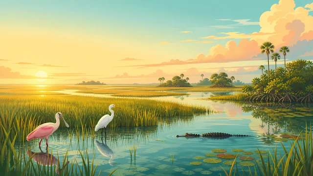
Do not reuse the Everglades grass river. This one is a forest.

Archive No.032

LocationCongaree floodplain

ReleaseFloodplain Mark

Stewardship / Safety

Wilderness water, and a forest that floods

The wilderness page says 21,700 acres are designated wilderness. Floods move the trails. The park site has the day's conditions.

  1. 01

    Fishing requires a South Carolina license and state limits. That is the FAQ, not a local exception.

  2. 02

    Dogs are allowed on a leash no more than 6 feet. The FAQ says so. Do not leave one unattended.

  3. 03

    The park does not rent canoes. Outfitters in Columbia do. The water still floods on its own schedule.

  4. 04

    Hogs, listed as a Spanish introduction still present, are a management issue. Do not treat them as tame.

Current conditions, fees, and alerts are on the National Park Service site.

Continue the Archive

Everglades is water without this canopy. The Smokies are ridges.

Congaree is the bottomland. Great Smoky Mountains is the Appalachian forest already published. Biscayne, in this batch, is the coast.