TrailMark Archive Edition

Hawaiʻi | Island of Hawaiʻi

Hawaiʻi Volcanoes

Hawaiʻi National Park on August 1, 1916. Named Hawaiʻi Volcanoes National Park on September 22, 1961.

Archive No. TM-HAVO-041

National Park since 1916

Collection Kīlauea and Mauna Loa

Park Overview

August 1, 1916, under an older name

Hawaiʻi Volcanoes National Park was established on August 1, 1916, as Hawaiʻi National Park. Congress gave the island of Hawaiʻi portion its present name on September 22, 1961.

The fact sheet, updated May 15, 2025, calls it the 15th national park and states the purpose: protect, study, and provide access to Kīlauea and Mauna Loa, two of the world's most active volcanoes, and perpetuate endemic Hawaiian ecosystems and the traditional culture connected to them. An older World Heritage page gave a smaller acreage and a slightly lower summit. This essay uses the fact sheet.

That sheet says the park extends from sea level to 13,681 feet and covers 354,461 acres, with 123,100 acres of legislated wilderness. It is an International Biosphere Reserve (1980) and a World Heritage Site (1987).

Emotional Thesis

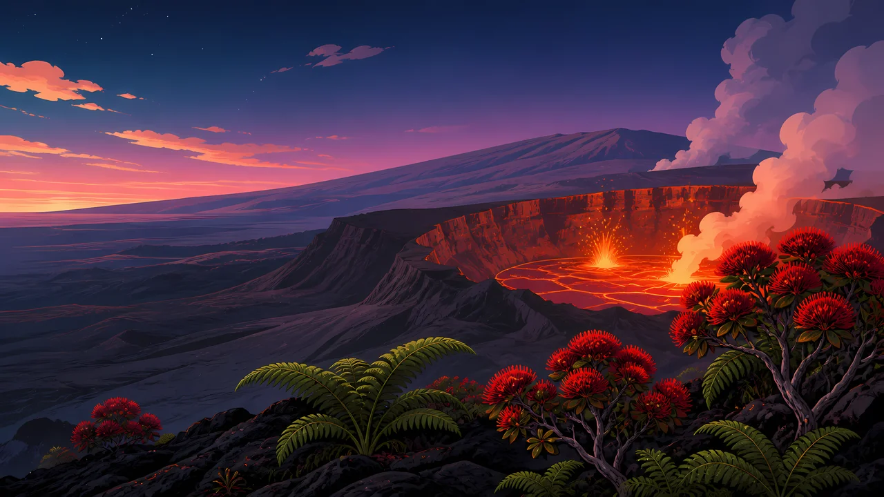
The header is a crater that is still working.

A lava lake sits in a cliff-ringed caldera, with red-flowered trees in front. The Kīlauea page calls this the youngest and most active volcano on the island, and the home of Pelehonuamea, who is said to reside in Halemaʻumaʻu.

The fact sheet lists the forms: calderas, pit craters, cinder cones, spatter ramparts, fumaroles, pāhoehoe and ʻaʻā, tree molds, black sand beaches, and thermal areas. The painting chooses the lake. The park is the whole list.

Landscape Highlights

Two volcanoes, seven zones, one sacred summit

01

Kīlauea

The Kīlauea page says the volcano has covered almost 90 percent of its surface in lava within the last 1,000 years, and that it first formed underwater roughly 280,000 years ago. Halemaʻumaʻu is the persistently active pit in the summit caldera. Eruption status is a current page, not this sentence.

02

Mauna Loa

The fact sheet includes Mauna Loa's summit and rift zones with Kīlauea's. The high point of the park, 13,681 feet, is on that sheet. A 2021 World Heritage page said 13,677 feet and 333,086 acres. The fact sheet is the later statistics page, so those older numbers are not used.

03

Seven zones

Coast, lowland, mid-elevation woodland, rain forest, upland forest, subalpine, and alpine. The fact sheet says those zones hold the native communities, including threatened nēnē and endangered honuʻea, the hawksbill turtle, among 47 endangered species.

Hidden Discoveries

Footprints, a buried heiau, and a trail the Buffalo Soldiers built

01

Before 1916

The places page says that for more than five centuries before the park, Native Hawaiians lived, worked, and worshipped here. Puʻuloa is one of the largest petroglyph fields in Hawaiʻi. The Footprints Area holds prints along an old travel corridor. Wahaʻula Heiau, called the first temple for human sacrifice in Hawaiʻi, is now buried by lava.

02

The 30-mile trail

A park film notes that in 1915 Buffalo Soldiers built a 30-mile trail rising over 9,000 feet between the summits of Kīlauea and Mauna Loa. The park came the next year.

03

Kahuku

The places page says the 16,451-acre Kahuku-Pōhue parcel is now part of the park. The fact sheet's acreage includes later additions. This essay does not rebuild the 1916 boundary from the original statute's tract-by-tract numbers.

Wildlife

A goose, a turtle, and a petrel on a volcano

The fact sheet says the park is refuge for seven threatened species, including the nēnē, and 47 endangered species, including the honuʻea and the ʻuaʻu.

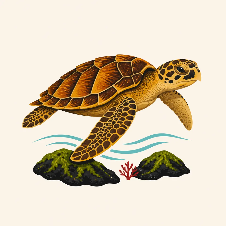
A hawksbill turtle swimming above dark lava rock, the extra drawing for the park.
Honuʻea

01

The extra drawing is a hawksbill turtle over dark rock. The fact sheet names honuʻea. The drawing is not a nest count.

02

Happyface spiders, carnivorous caterpillars, and picture-wing flies are on the older World Heritage page as creatures of the seven zones. They are not recounted as a census.

03

Nēnē also belong to Haleakalā's reintroduction story. Here they are one of the threatened species on the fact sheet.

Geology

New land, still being made

The World Heritage page says the resources show volcanic forces that create new land, and the adaptations of plants, animals, and people to that land. The fact sheet is where the elevations and the acreage come from.

01

Kīlauea has two rift zones, east and southwest, and the page says most eruptions outside the summit are there.

02

Pāhoehoe, ʻaʻā, tree molds, and black sand are the fact sheet's vocabulary for cooled lava. The red lake in the painting is the active case.

03

A specific eruption that is underway, or not, is the park's alert page. This essay does not freeze one.

The volcano keeps its own calendar

The summit

Halemaʻumaʻu has a long history of lava-lake eruptions, the Kīlauea page says. Whether a lake is visible on your day is not a promise.

The coast

Sea level and 13,681 feet are the same park. Pack for the zone you are entering.

Rain forest

One of the seven zones is rain forest. Lava and rain are both on the fact sheet. They are not the same trail.

Closures

Eruptions close roads. The fact sheet's 106 miles of roads and 155 miles of marked trails are an inventory, not a guarantee that each mile is open.

Photography

Photograph the rock type, not only the glow

A lava lake is the header. Pāhoehoe, a tree mold, or a black-sand shore is also the park.

01

Distance

The crater rim is the park's line, not yours to improve. Follow the closure.

02

The flowers

The red blossoms in the painting are foreground. Do not pick the plant to match the picture.

03

Name the volcano

Kīlauea and Mauna Loa are both in the purpose statement. Say which summit you were on.

Field Notes

Field Notes

The 1916 park was drawn around a crater that does not hold still. The name changed in 1961. The lava did not ask.

TrailMark Field Notes

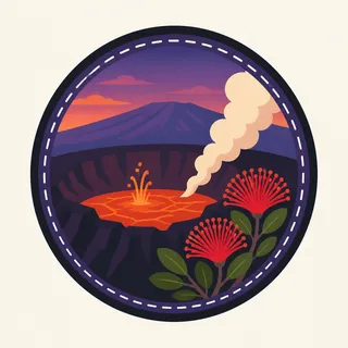
Hawaiʻi Volcanoes National Park badge

Badge Story

A lava lake in a cliff ring, not a dormant cone

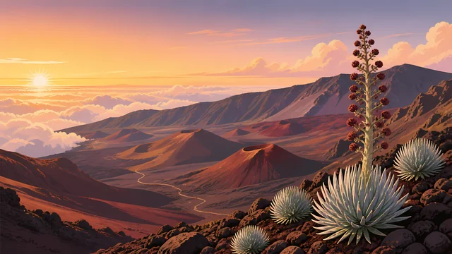
The mark is active Kīlauea: glow, a rim, and a steam plume. Haleakalā's sunrise bowl is the other volcano.

Caldera, lava, and a red-flowered tree.

A honuʻea can stand for the coast. It is not a count.

Do not draw this crater as empty and cold. The fact sheet's purpose is that it is active.

Archive No.041

LocationKīlauea

ReleaseLava Mark

Stewardship / Safety

An active volcano is not a viewpoint you invent

The purpose includes access and protection. Which road is open is the park's alert, every time.

  1. 01

    Stay behind the posted line at Halemaʻumaʻu. The goddess's home, in the traditional account, is not a photo platform.

  2. 02

    Honuʻea and nēnē are named threatened or endangered animals. Distance is the courtesy.

  3. 03

    Lava benches and steam cracks change. Yesterday's trail is not today's.

  4. 04

    Cultural sites, including petroglyphs and the buried heiau, stay as they are. Lava has already taken some of them.

Current conditions, fees, and alerts are on the National Park Service site.

Continue the Archive

Haleakalā was the other section of this park.

Until 1961 they shared a name. Haleakalā is dormant and high on Maui. This page is the island of Hawaiʻi, where the ground is still being built.